North Carolina Historical Maps
From ENC Phillips Group Wiki
Maps of North Carolina
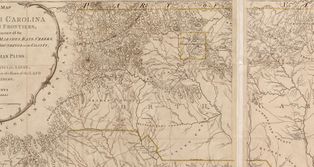
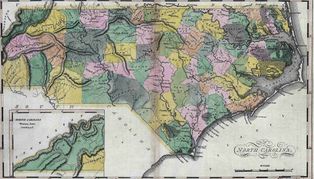
Most browsers will resize the map to fit in your new window. Hold your mouse over the map and and your pointer will change to a small magnifying glass. Left Click and the photo and it will appear in its original size. They are all quite large for detail.
|
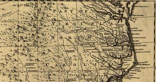
North Carolina abt 1752 Click on Map to open large image in a new window. |
|
|
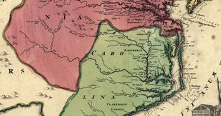
Carolina Map abt 1759 Click on Map to open large image in a new window. |
|
|
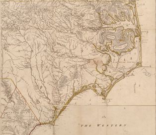
North Carolina in 1792 Click on Map to open large image in a new window. Eastern half of North Carolina. |
|
|
North Carolina in 1792 Click on Map to open large image in a new window. Western half of North Carolina |
|
|
North Carolina in 1814 Click on Map to open large image in a new window. |
|
|
North Carolina 1792 with Phillips Families Located Click on Map to open large image in a new window. |
Coming soon... |
County Formation Maps
A PDF of the Counties in NC from 1734 to 1770 to help visualize where we are talking about and when/if a county was created or had a boundary move, name change, etc. These maps are from this very well done site: http://www.familyhistory101.com/maps/nc_cf.html.
You can go to it for NC but if you change the /nc_cf.html in the web address bar to "sc" you will see South Carolina. Use any two letter abbreviation for the states and you will see how that state was formed along with the counties.
